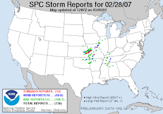
These are the storm reports from that day/night. The line of red dots (tornadoes) is about an hour (or two) south of Kansas City, but certainly within the viewing area.

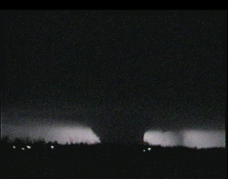
This is a screen capture from a NWS employee's video camera. This was the largest tornado, and caused the most damage. Because it happened at night, the only time you could see it was when lightning flashed, so there are no still images of it, only captures from video. It was rated an EF4 on the new Enhanced Fujita scale, which is the strongest tornado this year, and also the earliest in the season that a tornado of this size has formed in Kansas.

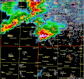
Here is a radar image of the storm that produced that massive tornado. If you see something like this and it's near where you are...it might be wise to get in the basement.

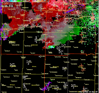
Here is an image of the storm velocities. The radar is on the ground at the NWS office in Pleasant Hill, MO. The red means that the wind is coming towards the radar, and the green means the wind is blowing away from the radar, which makes sense because the winds for this storm were coming from the west. However, if you look at the bottom of the big blob, you'll see a bright area. That indicates where the tornado was, because the winds are rotating and therefore not coming straight into the radar at that point.
Well, that's enough for now. I'm sure I'll have more of these to talk about as the severe weather season starts picking up, but in the meantime, I'm enjoying the temperatures that are starting to climb into the 60s and 70s on a daily basis. Thank goodness - I was so tired of winter.
No comments:
Post a Comment